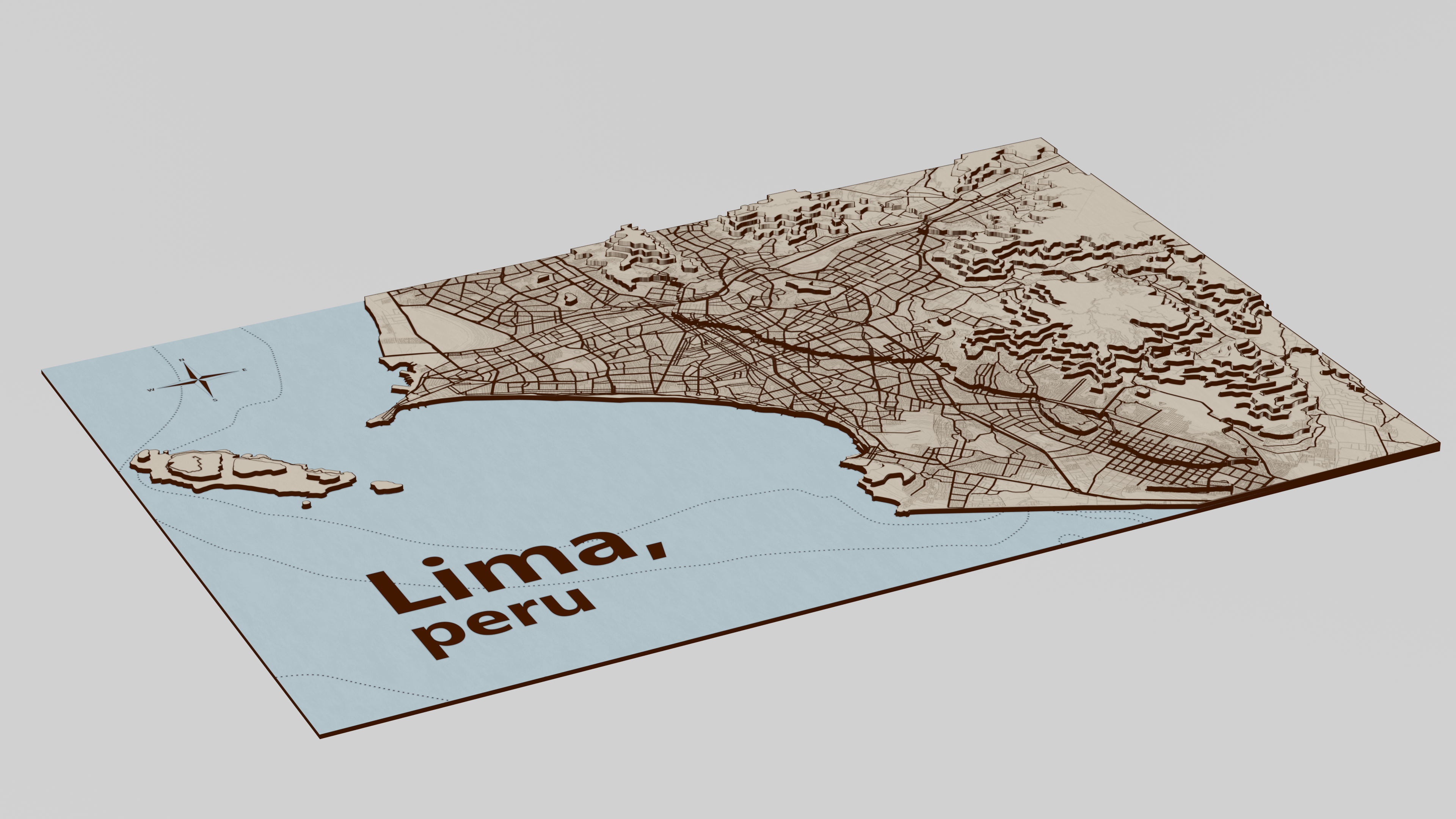
This is a laser cut topographic map I made as a present to my step-grandparents. A height map was inputted into blender, and using a color ramp and z-height was sliced. I then took those slices and vectorized them, threw on a road layer, and finally a bathymetric layer. It ended up really pretty, but the render shows it best.
